Thursday, May 27, 2010

Civil War Colored Troop Veterans - Laurel Hill Settlement

More today on some of the Civil War Veterans buried at Browns Cemetery. First up John Brown (abt 1830 - 1889). Old Elmer Brown was his son. And Keziah Harshberger (Lizzie's daughter) was Elmer's mother. John and Keziah were not married and for years Elmer went by Harshberger. It was set up that way to insure the land passed down to Keziah's children.
Company H, 4th Pa Cav. - was actually part of an all white regiment from Westmoreland County headed by George Covode.
Born in Covodesville (near Bolivar), Pennsylvania, Covode was the oldest son of John Covode, a U.S. congressman and staunch abolitionist. In his youth, George Covode was noted for his athletic proportions, being tall and well built and peculiarly fitted for the hardships of military life. He was educated in Ligonier Academy and Elders Ridge. After he left school, he engaged in mercantile pursuits for some years, but not with much success. In 1858, he married Annie Earl of Somerset County, Pennsylvania, who died a few months after their marriage. He remarried a few years afterwards to Bettie St. Clair Robb, a granddaughter of Arthur St. Clair, a major general in the Continental Army and the ninth President of the Continental Congress.
John Brown along with Old Orange Dorman walked down the old military road and joined up.
Covode was known to be very near-sighted, which caused trouble for him in identifying people at a far distance. On June 24, 1863, while in command of a brigade in Virginia, he mistook some Confederate skirmishers for his own troops and rode toward them. He discovered his mistake too late and, as he was turning to ride away, he was shot in the arm and stomach by an enemy volley. In the retreat, he was left within the enemy lines and died a few hours later.
John Brown is listed in the records as a barber - but had a tendency to take off for long periods at a time. Leaving the family without a means of support. He was 20 years older than Kesiah. And there is a story of the time she nearly tried to kill him by throwing a heavy chunk of wood at his head - all because he was smoking around some of their kids that were suffering from whooping cough at the time.

Monday, May 17, 2010

Stone Road - Lower Yoder Township

Knowing that there is yet more rain in the forecast coming up. I thought I'd better head up to Brown's and put some fresh flags on the graves of a couple of Black Civil War Veterans. The old ones have seen better days. As I was walking up the old road that has been here since at least 1774 - for more on the history click cambriahistory.blogspot.com. I use this old road so much and take it's age for granted. Which means I've hardly ever photographed it. So I thought on saturday, it's about time I do.
Some of it is made up of bedrock, but other sections are made up of what looks like quarried chunks of stone layed flat as a road surface.
All in all about 60% of the road going up is made up of stone and rock like this. And even in wet weather, it stays in better shape compared to dirt roads. I think this road is a perfect example of an old Indian type trail written and explained in depth by Paul Wallace in is 'Indian Trails of Pennsylvania' book.
As you can see, the old road is still in great shape. And what makes this road even more important in my mind is that near the end of it is one of my old and much photographed favorite structures. I can't help thinking that the road and this structure are somehow connectioned. If you ask me, I think it's on a shamantic level.
Turning and looking at the end of this road up top.   
Heading now to Brown's I enjoy always being greeted by what I call the 'three sisters'. These old apple trees are the only ones left standing from a 150 year old orchard that used to be here.
There are at least 77 people if not more buried in the old family cemetery. The first burial occured in 1827, when 80 year old Elizabeth Harshberger (William's mother) died after arriving by wagon train from Lancaster County. I just thought it would be nice with Memorial Day coming up, to honor the couple of old vets up there with some fresh flags.
I didn't realize that the War Markers use a smaller type flag, so I just stuck them next to the markers.

Tuesday, May 11, 2010

Site off the Mountain Road - Part 2

Here is more pictures from this site. This first one shows yet another type of cairn which I believe is probably a burial.
Around the corner from this rockpile - is a rock shelter and some possible flint knapping artifacts, that I don't have any good pictures of. They all turned out too hot. But I did find a celt there - which is odd, because I hardly ever find anything. Going around to the other side is more low to the ground type piles.
The rockpile in the foreground here, kind of reminds me of a prayer seat.

Saturday, May 8, 2010

Site off Mountain Road - Part 1

I first talked about this site here:  rockpile-site-lower-yoder-township.
This is the best example of a very large cairn. It shows some age. And I know there are at least two more of this size (over 5 feet high) in there. But this 6 foot black rat snake made me change tactics.
So I only ended up taking some fresh pictures of some edge piles. Since I have also seen Rattle Snakes in this area. I have a healthy respect for snakes since almost getting bitten by a Copperhead while picking blueberries years ago.
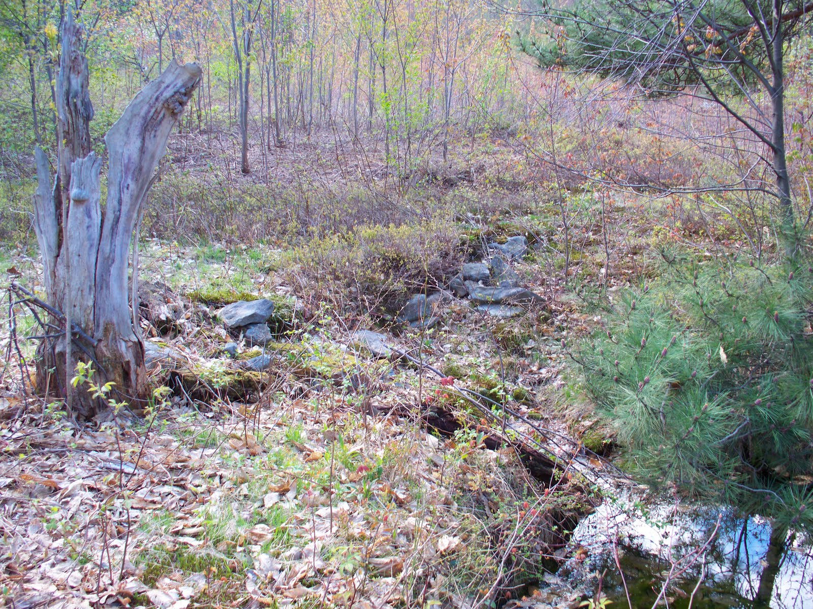
A couple of things about this site. As you can see, it's a big mess. There is a small pile in the lower center of this picture. I get the sense that some of these piles could be of the burial type. Along with being convinced that some piles could be related to weather.
 As you can see it's a big mess and it's hard to even spot the piles themselves.
 I am a daily walker and go 30 miles a week. My old route and turnaround for 15 years was on the edge of this site, and I know the weather patterns up here like the back of my hand. From winter snows to thunderstorms.
There are two piles here. Since this part of the Alleghenies can make it's own weather, I've seen first hand how quickly things can go downhill from snowstorms to lightning strikes.
I am convinced that part of this site was put aside to remember or honor the weather. This next picture shows two piles.
Now there are piles of what looks like different ages to me scattered all across this area that seems to be broken up by this large spring sort of in the middle of all of this.
This looks like what remains of a stone lined water source. There is a least one large snapping turtle calling this place home.
All of the above piles are all located in the area behind this spring. Turning in the other direction is this next set of rockpiles.
As you will see, the ground cover on this side is thick, but more walk friendly. Next up is this low to the ground row.
Continuing on, finding more medium piles in the area.
To this small one.
There are so many rockpiles that I need to actually sit down and try to map out this site, to see if there is some sort of pattern in style and location.